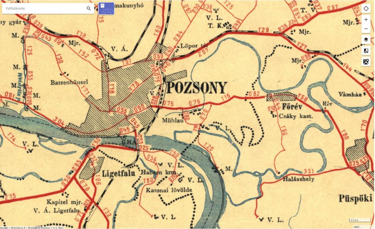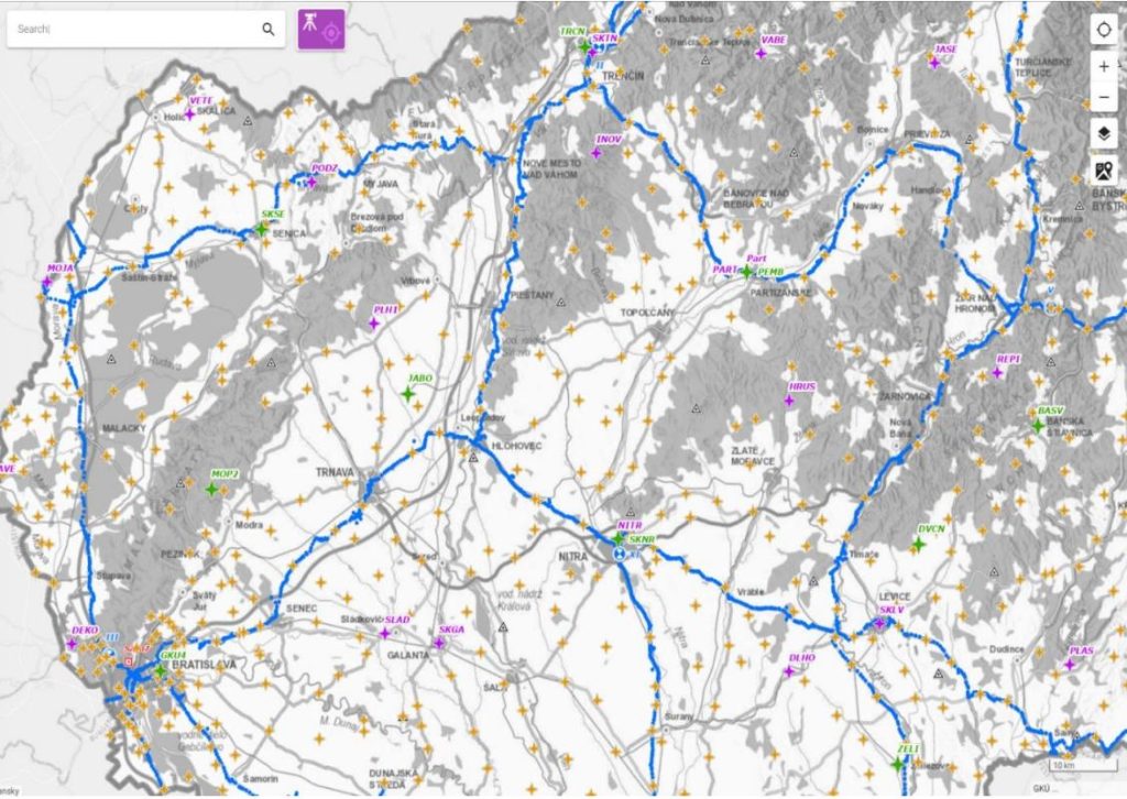
The ZBGIS Map Client web application, which Zymestic has been creating for its partners for many years, is a very popular digital map among the professional and lay public. It allows interactive work with spatial data without the need to install software and have advanced computer skills. It works in standard web browsers such as Google Chrome, Mozilla Firefox, Safari, Microsoft Edge. It even allows you to add your own data in commonly supported formats or as web map services. Spatial data available in the ZBGIS application are taken from registers such as: cadastre of real estate, address register, geodetic points, archival maps, digital relief model and many others. This is why the output of the displayed data is so comprehensive and full-featured.
ZBGIS is a unique combination of cadastral data with a number of underlying maps such as a base map or an orthophoto image. It quickly displays parcel and land data as well as title deeds in one place, which is easy to search and filter. It is a practical assistant in dealing with various life situations related to real estate.
Increase in the number of MK ZBGIS users

Do you want to buy land or property?
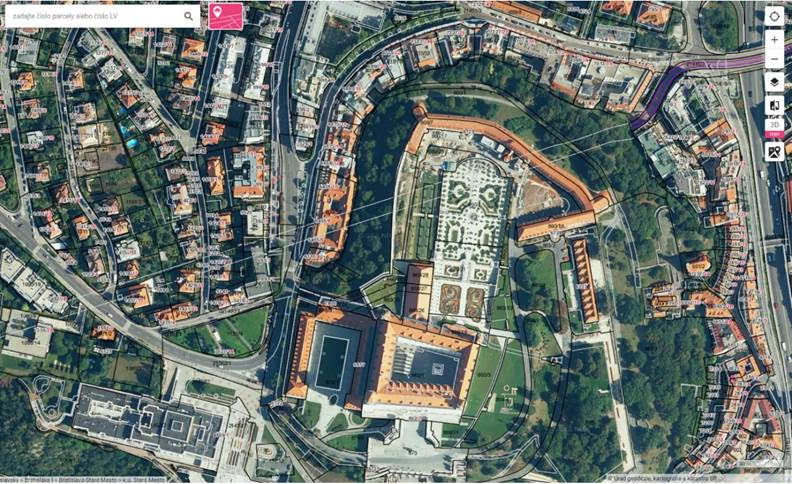
One of the themes of the digital map is the Cadastre of Real Estate. Within this topic, you will get access to C-register, E-register parcels, title deeds, buildings, owners, etc. In addition to information from the cadastre, you have a wide range of options and tools at your disposal to find out information about the selected parcel or property without having to contact the owner.
You can view the parcel boundaries at the same time as the base map, which makes it much easier to navigate in space. Cadastral maps, which have to be requested from the cadastral office for a fee, are just parcels often on large scales, rather like plans, without any other underlying map.
Need to measure property boundaries or distances from a site?
A practical function is the measurement function. Measurement is available in each theme of the digital map. Use it to measure, for example, the approximate boundaries of the land you are interested in, or the distance to a favourite place, park or restaurant. The calculation of the height profile is also available as part of the measurement. This will help you to have a more accurate idea of the plot before you visit it. The drawing function allows you to insert various geometric shapes or texts into the map. Although the measurement and graphical representation is only informative and not suitable for the precise delineation of land boundaries and the placement of buildings on the land, it is an almost perfect source of information for decision-making.
Are you interested in ownership relations tied to a specific area, parcel or property?
Comprehensive information about a specific area in terms of current ownership or topography is available after adding various layers, either custom or preset.
Is the slope of the plot and the impact of the sun’s rays on the plot during the year important to you?
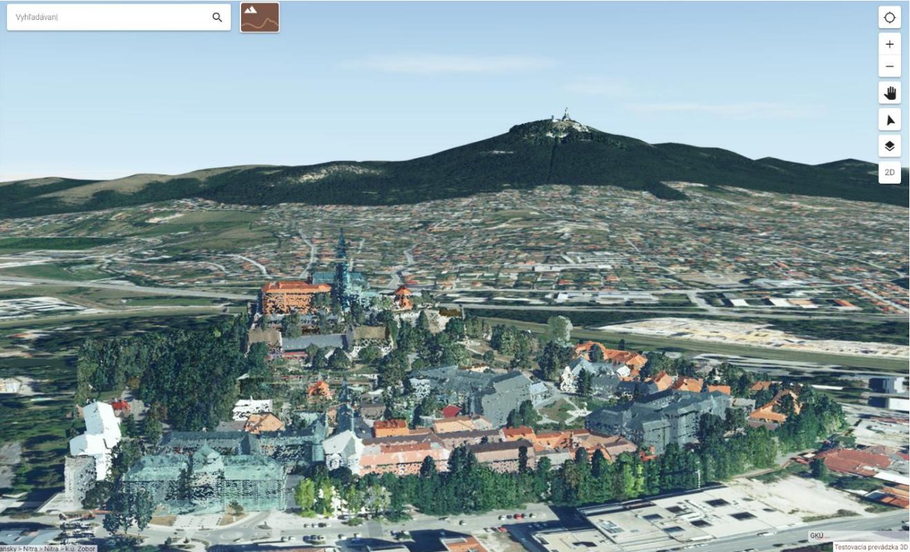
In the Terrain topic, you can see the slope of a given parcel or the whole area or its orientation to the cardinal points. The 3D preview shows how the land is illuminated by sunlight on a selected day of the year or at a certain time. This gives you an even clearer idea of the land and makes it easier to make decisions depending on your plans.
For example, if you want to buy a plot of land on which you want to build a house or a larger development project, the above-mentioned terrain features will give you an indication of which side of the world to orient the house so that the building is as well-lit as possible. The feature is also popular with developers when planning the construction of new residential zones. Once you have done your own research, you can print out the new findings, drawings or measurements in PDF format. You can share them using a link or QR code.
Are you dealing with inheritance proceedings or a dispute?
The ZBGIS digital map has found its use in various fields. Title deeds, which can be obtained with a few clicks in the Land Registry topic, are often the subject of various disputes, such as inheritance proceedings. They are used by all parties to the proceedings, including lawyers, judges, notaries.
The possibilities of the ZBGIS Map Client web application are enormous and we are still expanding them. Fast access to information is an amazing result of the digital age we live in.
Different options of the ZBGIS Map Client application