| Project: | Mapping services for the cadastre information system |
| User: | Office of Geodesy, Cartography and Cadastre of the Slovak Republic |
| Implementation date: | since 2015 |
Target
The basic objective of the cadastral services project was to make the cadastral services provided to citizens, businesses, local governments and other state institutions as efficient as possible. Within this project, Zymestic provided data quality control, migration and mapping of the entire system for its partners.
The essence of the Land Registry portal is electronic registration and electronic provision of services, i.e. all facts arising from the law on buildings, land, ownership, protected areas, etc.
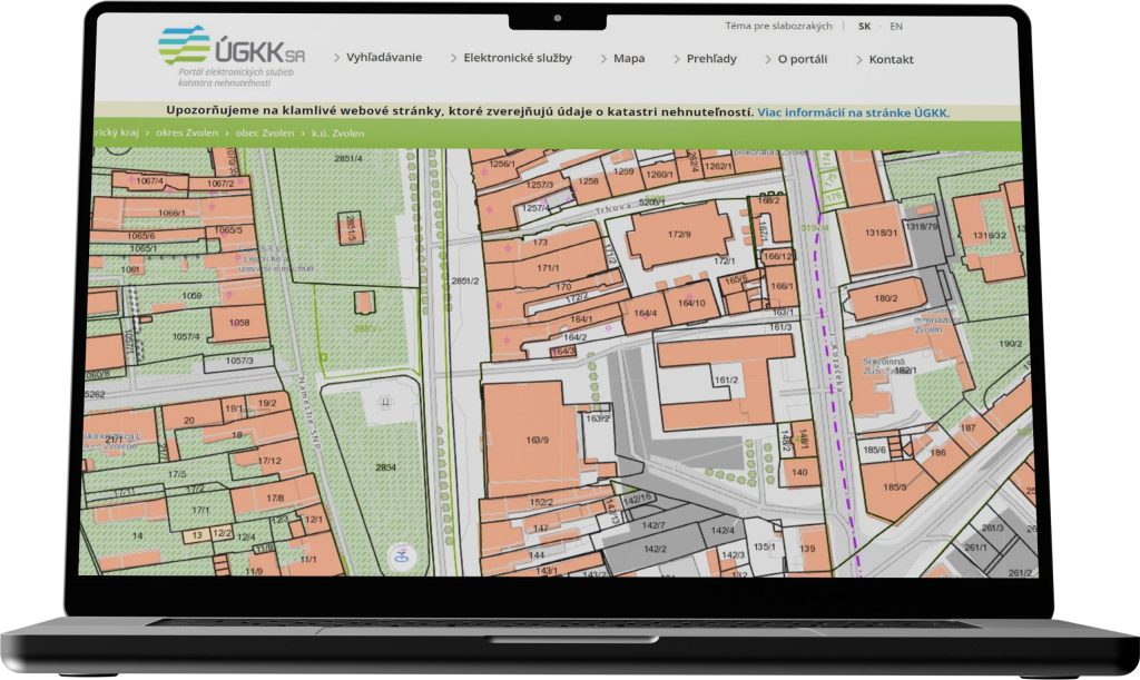
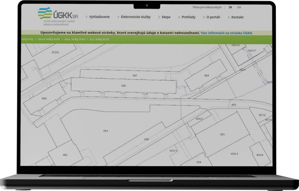
It contains data on real estate ownership, such as cadastral maps, information on buildings, land, apartments, ownership certificates, register of municipalities and cadastral areas, land prices, information on the status of cadastral proceedings, proposals for entry, etc. The information entered into the Land Registry forms the basic information base for legal transactions.
The system records spatial information, which is displayed on a map, and descriptive information in the form of attributes such as property type, ownership, land quality, prices, easements, servitudes, etc. As a web application, it is used to display and work with cadastral data.
Requirements
- Create a mapping application, ensure data migration and control, and develop the overall background of the mapping solution.
- Create a tool that allows most input and output services of the cadastre to be performed electronically.
- To create one centralised database containing up-to-date data from all cadastral offices throughout the Slovak Republic.
- Enable the use of electronic documents for legal transactions.
- Integrate the solution into the Central System of Reference Data (CSRU).
- Integrate electronic services of the cadastre into the overall eGovernment architecture.
- To make the provision of land registry services more efficient in terms of time and money of service recipients:
- citizens, businesses, municipalities and other government institutions.
- Introduce three basic types of services – information, transactional and personalised. Information services providing information listings, transactional services enabling information entry, personalized services enabling the owner to perform actions related to their property.
- Using orchestration to provide data linkage to create complete and comprehensive information, e.g. total ownership certificate, etc.
Results and benefits
- Import and collection of data from all cadastral offices in the Slovak Republic so that the central database contains daily updated data and is available to all portal users.
- Integration of the portal with other systems to provide comprehensive information to citizens or organisations for different types of activities, e.g. for: zoning, revenue, foreclosures, etc.
- Provision of information from the cadastre information system to end clients: citizens, organisations such as real estate agencies, the Notary Chamber of the Slovak Republic, bailiffs, etc.
- Import of data from external sources into the system database using the exchange format of vector cadastral maps (VGI) and their subsequent publication for users via ESRI tools.
- Efficient, simple and clear data search and filtering with the open source Elasticsearch solution.
- Creating non-visual services and full access to data for public administration.
- Creating support for data production and data quality improvement, i.e. their collection, creation, management and provision in a user-friendly form.
- Automation of control of electronic versions of vector geodetic documents and XML file of the statement of plans for registered authorized surveyors in order to increase the quality of geodetic documents.
Technologies used
- ESRI
- Oracle Database
- Elasticsearch