| Project: | Integration of the geographic information system into the address register |
| User: | Ministry of Interior of the Slovak Republic, Ministry of Justice of the Slovak Republic, Office of Geodesy, Cartography and Cadastre of the Slovak Republic, Topographic Institute Banská Bystrica |
| Implementation date: | since 2015 |
Within the framework of individual projects, Zymestic has linked geographic information systems with the address register. The Register of Addresses is a state register – the Information System of Public Administration, which was established in accordance with the National Concept of Informatization of Public Administration. The address register is a central data source containing addresses with registration numbers of all physical buildings in the territory of the country. Municipalities and towns enter registration and orientation numbers, street names and other public spaces. The Ministry of the Interior of the Slovak Republic enters data on the territorial division into the register – region, district, municipality, part of a municipality. State organisations are linking their systems to this state reference system to obtain and use the most up-to-date data.
Requirements
- Connecting, downloading, storing and processing data according to address registry standards and making data available to users within a defined scope and scale.
- Develop a software tool for downloading change batches of data on a daily basis and then storing them in a GIS database.
- Ensure the availability of information from the address registry for employees of state organizations within their own system solutions.
Results and benefits
- End users are always shown the current, currently valid data in the applications, just published in the reference system of the address register status.
- Rapid provision of assistance to the caller by operators and dispatchers on emergency lines based on the availability of current addresses with precisely defined coordinates from the entire territory of Slovakia.
- Clear definition of mandatory and prohibited places of movement and residence of convicted persons by probation and mediation officers in the information system of the probation and mediation service based on the availability of all registered addresses in the register.
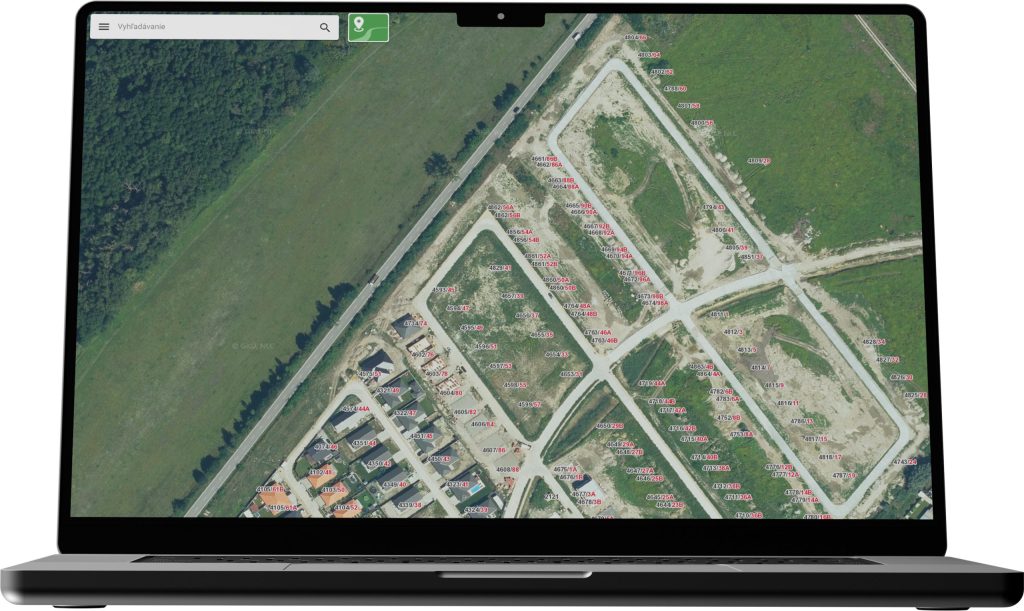
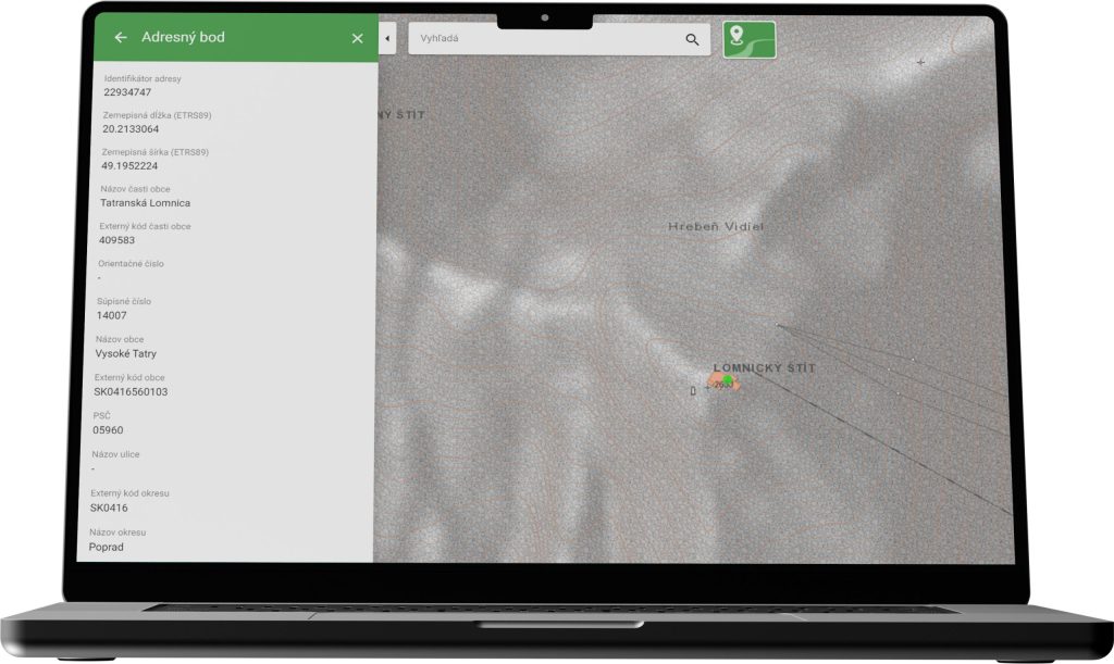
- Searching, identification and display of address points on the map within the individual map clients of the above mentioned departments, including the ZBGIS map client, which is available to the general public.
Technologies used
- Oracle Database
- Microsoft .NET
- FME desktop – ETL (Extract, Transform and Load) toolset
- Elasticsearch – for fulltext search