| Project: | Map application for the JESSUS project information system |
| User: | Institute of Planning and Development of the City of Prague (IPR) |
| Implementation date: | from 2022 |
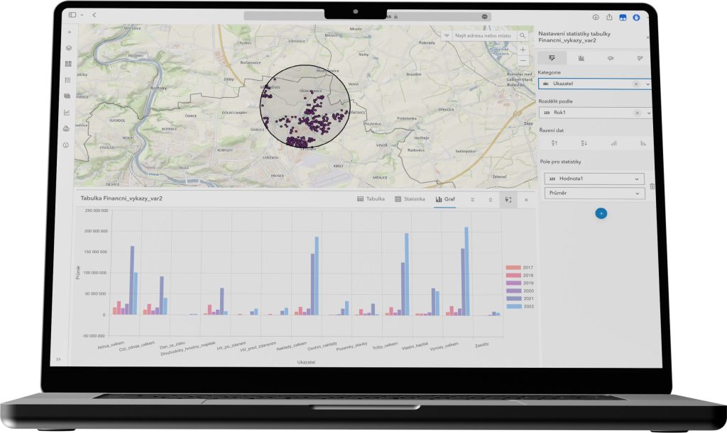
As part of the large-scale project Unified Access to Economic Information for Sustainable Urban Governance and Development with Minimized Maintenance (JESSUS), Zymestic has developed a mapping application for its partner that allows 10,000 analysts to access the system without having to purchase expensive licenses. As economic data is an invaluable source of information for many tasks and activities that the City of Prague is engaged in, it is necessary to provide and display it in the required structure and detail to make it as usable as possible for the city administration.
Requirements
- Linking economic data from different sources and displaying them in a geographical environment.
- Create a mapping application to support the work of a less skilled analyst using modules and standard features of the ArcGIS API for JavaScript.
- Develop a solution in a short time using ESRI compatible widgets and complex blocks while adding great value to the end user.
- Design the solution so that it has no licensing restrictions, i.e. will not be tied to expensive software licenses and will not have a limit on the number of connected users.
Results and benefits
- Deploying a web application using a thin client that partially replaces the thick client.
- Allowing less qualified analysts to process the agenda without limiting the number of accesses to the application through an online accessible web environment.
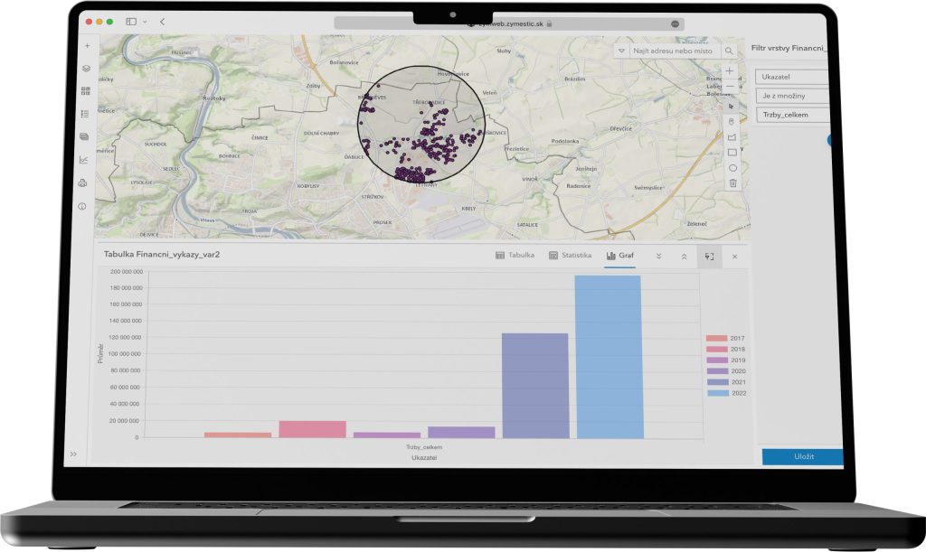
- Within the application, data from various sources is available through special imports that allow you to create outputs, statistics and graphs based on user-defined filters and attributes.
- Creation of attribute and geometric filters, creation of statistics and presentation of data through printouts.
Technologies used
- Net / IronPDF
- Angular
- ESRI ArcGIS Maps SDK for JavaScript