| Project: | Harmonisation and publication of data under the INSPIRE Directive |
| User: | Office of Geodesy, Cartography and Cadastre of the Slovak Republic (ÚGKK), Geodetic and Cartographic Institute (GKÚ) |
| Implementation date: | since 2016 |
Within this project, we have ensured the harmonisation and publication of data in a total of 7 topics of the INSPIRE – Spatial Information Directive. Under the INSPIRE Directive, EU Member States are obliged to make geographic data available in a harmonised format. This means that thematic geographic data from France, Germany, the Czech Republic or Slovakia, for example hydrological data (watercourses, lakes, ponds, etc.), have a uniform structure, the same data model, the same cartographic representation, the same coordinate system and are made available in a uniform way.
Requirements
- Creation of an information system to collect and provide data on selected 7 topics of the INSPIRE Directive with a link to the Geoportal of the ÚGKK.
- Ensure harmonization (transformation, missing attributes, conversion to coordinate systems, cartography setup for display in the service, etc.), validation, testing and publication of data in the following topics: hydrology, administrative boundaries, buildings, transport networks, geographical names, altimetry and orthometry in accordance with the European Commission’s legislation on the INSPIRE Directive.
- Creation of data for the National Spatial Data Register in accordance with the National Infrastructure for Spatial Information (NIPI) Act.
- Enable the collection, storage and sharing of harmonised data of specified quality and accuracy according to INSPIRE technical specifications.
Results and benefits
- Ensuring the availability of national information to the public by publishing services on the Geoportal of the ÚGKK.
- Provision of data through INSPIRE network services, i.e. geographic web services.
- Keeping data up to date by regularly updating it in line with the latest changes to the INSPIRE Directive.
- Improving the quality of ZBGIS input data (also retrospectively) and ensuring its use based on the default services in the ZBGIS Map Client.
Technologies used
- ESRI – ArcGIS Server and ArcGIS Desktop, ArcGIS for INSPIRE extension
- FME Desktop – extraction, transformation and loading (ETL) toolkit
- Apache JMeter
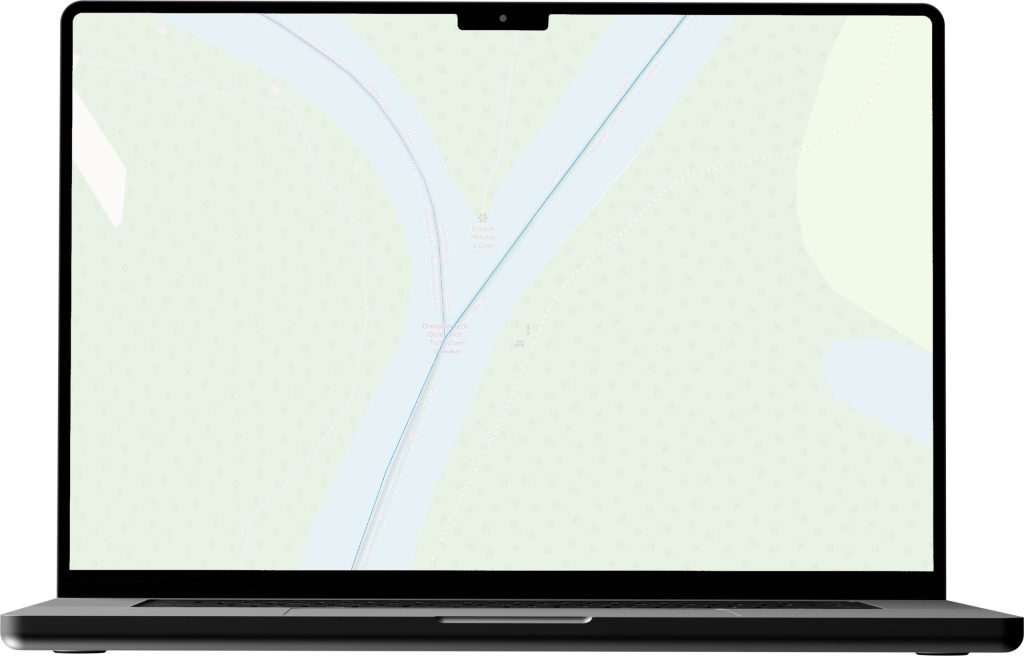
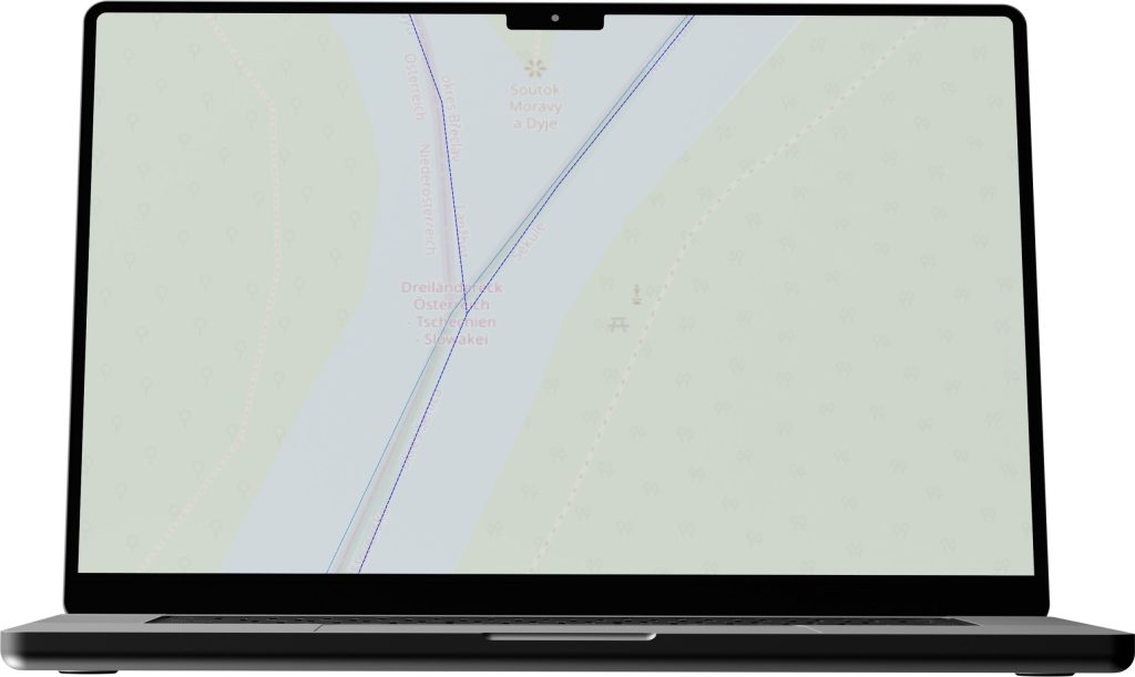
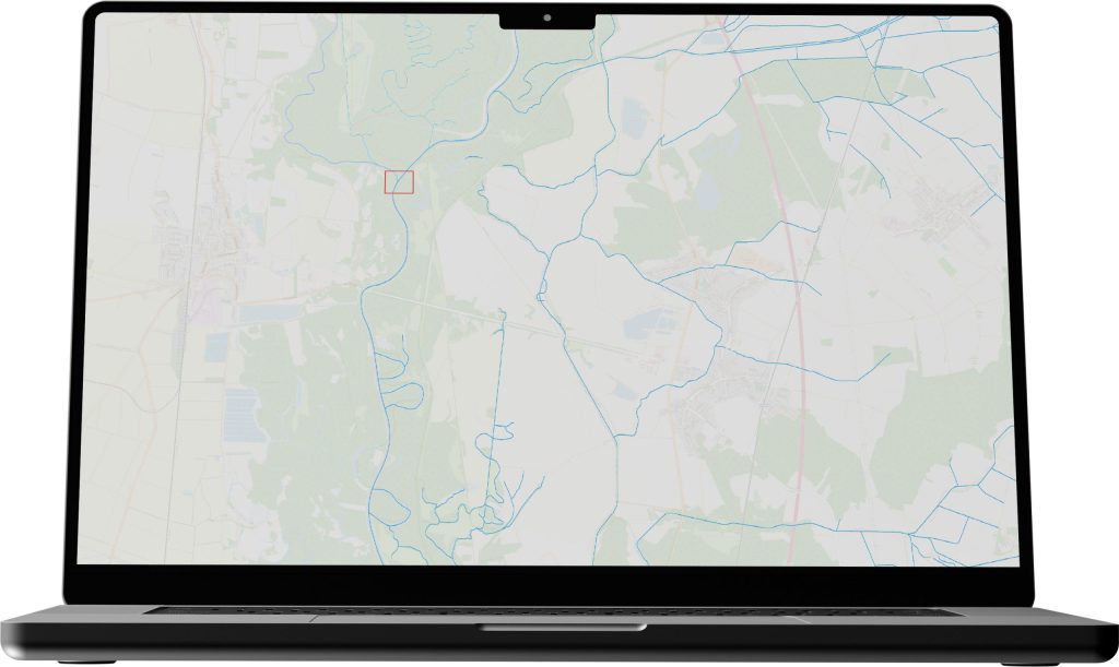
INSPIRE ensures compatibility and interoperability of data across EU countries – When working with data from multiple countries, e.g. within the hydrology theme, the harmonised INSPIRE data build on each other.
If we take the hydrological data of watercourses for the Czech and Slovak Republics, in the border area of the confluence of the rivers Morava and Dyje, in INSPIRE services these data are related to each other and the confluence is also reflected in the topology of watercourse lines. (see pictures).